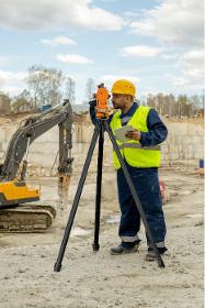

SIG 2017, ESRI 11 et 12 octobre 2017, Docks de Paris
Participation in an event ・ 11 Jun 2017 ・ read moreDe jeunes pousses françaises rejoignent régulièrement le programme Startup d’Esri. Elles offrent ainsi un large champ de compétences et de solutions nouvelles adossées à la plateforme ArcGIS. Ces startups viennent répondre à vos enjeux métiers autour de solutions robustes qui vous seront présentées au sein du village startups qui leur sera consacré dans la structure extérieure située devant le Palais des Congrès.